Vergelegen
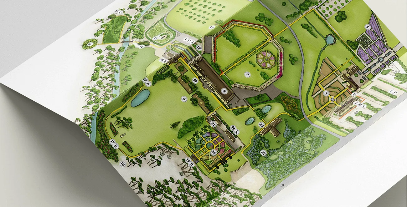
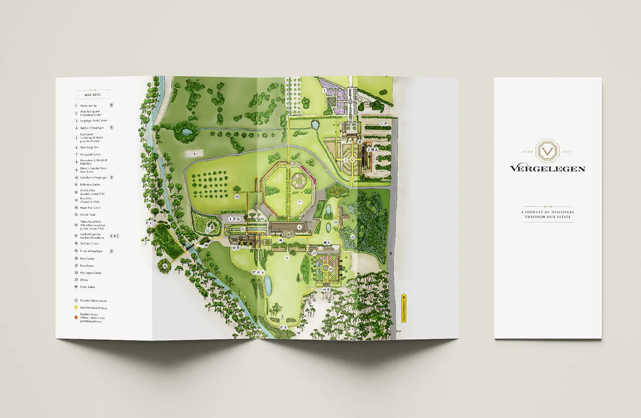
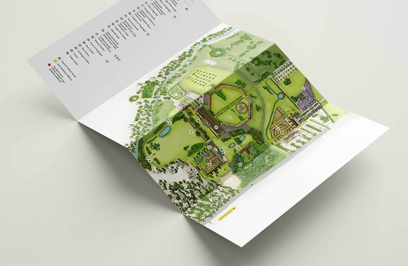
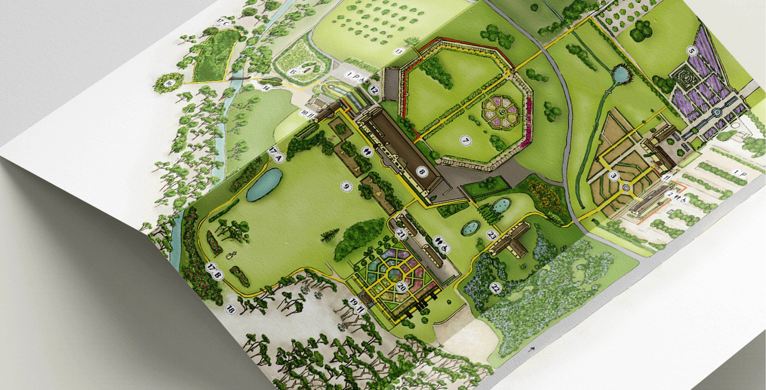
For Vergelegen, G2 designed an illustrated map of the wine estate. Our design journey included taking photographs and spending time on the estate to capture the experience. Have a look:
Client Brief
Vergelegen approched G2 to illustrate their farm map after seeing a map that we designed for another client. Their brief to us was to create a map brochure that they can hand to visitors when they enter the farm. The map had to show the areas on the farm and navigate clients on a journey through the estate.
Our Solution
G2 started off by doing research on aerial photos of the farm. This also included using Google Maps to get the bigger picture of what the estate looks like from the air. The design team combined their research to create the framework for the illustration. After drawing this framework G2 presented to client. The next phase was to add colour to the map. G2 visited the farm for a couple of days to get a good knowlede of the plant types, colour of buildings, etc. After gaining enough knowlede we proceeded with adding colour and texture. The final product was received very well by the client and visitors of the estate.